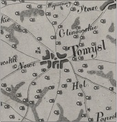
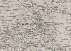
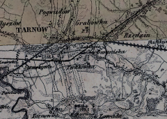
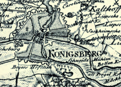
Poniżej prezentujemy zasób map historycznych opracowanych na podstawie projektu “Atlas historyczny polski. Ziemie polskie korony w drugiej połowie XVI wieku” (AHP) realizowanego w Zakładzie Atlasu Historycznego Instytutu Historii PAN w latach 1964-2021. Najważniejsza jest mapa ziem polskich Korony w skali 1:250 000: pokazuje prawie 25 000 miejscowości wraz z typem, funkcją, wielkością i własnością, granice administracyjne, najważniejsze drogi, a także zalesienie i hydrografię. Na jej podstawie opracowana została przeglądowa mapa w skali 1:1 000 000, która w syntetyczny sposób pokazuje osadnictwo i podziały terytorialne, a także mapy w skali 1:500 000 dla poszczególnych województw.
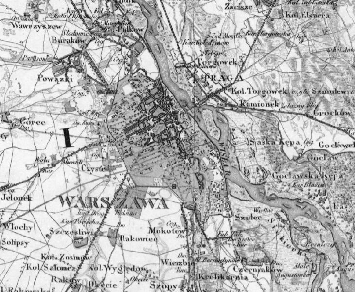
Poza mapami historycznymi, udostępniamy także mapy dawne będące elementem aplikacji “Mapy z przeszłością” (https://atlasfontium.pl/mapy-z-przeszloscia/) odsyłające do poszczególnych opracowań.
Planujemy udostępnienie kolejnych map historycznych przeznaczonych zarówno dla specjalistów (historyków, geografów) oraz wszystkich zainteresowanych geohistorią.
publikacja: 09.12.2022 r.
aktualizacja: 14.06.2023 r.