16th c.


The Archive of Crown Treasury. Section I – tax registers. Electronic database

Tadeusz Manteuffel Institute of History of the Polish Academy of Sciences

Status of work: finished. Update date: 22.09.2023

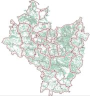
Historical administrative and political divisions of Poland (ca. 1600-1900)

Tadeusz Manteuffel Institute of History of the Polish Academy of Sciences

Work in progress. Last update: 26.06.2023

The settlement network of the Sanok land in the years 1340–1650

Institute of History of the Polish Academy of Sciences

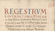
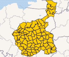
Tax registers of the Polish Crown in the second half of the 16th century

Tadeusz Manteuffel Institute of History of the Polish Academy of Sciences

Status of work: finished. Update date: 22.09.2023

Corona Regni Poloniae. Map at a scale of 1:250 000

Atlas Źródeł i Materiałów do Dziejów Dawnej Polski, no. 1
The Tadeusz Manteuffel Institute of History of the Polish Academy of Sciences

Historical Atlas of Poland. Tax Registers from the Voivodeship of Kalisz in the 16th Century.

Atlas Źródeł i Materiałów do Dziejów Dawnej Polski, no. 2
ed. M. Słoń, Instytut Historii PAN im. Tadeusza Manteuffla 2015

Historical Atlas of Poland. Tax Registers from the Voivodeship of Poznań in the 16th Century

Atlas Źródeł i Materiałów do Dziejów Dawnej Polski, No. 3
ed. M. Słoń, Instytut Historii PAN im. Tadeusza Manteuffla 2015

The Court Records of Wschowa (1495–1526). Digital Edition

Editors: Marek Słoń, Urszula Zachara-Związek
Studia Geohistorica 6 (2018), p. 206–219
Journal home page

Register of Protestant communities in the Polish-Lithuanian Commonwealth in the 16th-18th centuries

ed. Maciej Ptaszyński, Early Polish Culture Research Team, Institute of History, University of Warsaw
Work in progress. Last update: 31.12.2014

The map of Polish lands of the Crown in the 16th century – a spatial database

The Tadeusz Manteuffel Institute of History of the Polish Academy of Sciences
State of work: finished (with possibilities of further development). Update date: 13.12.2021